NICRA
Nagaland-At a Glance:
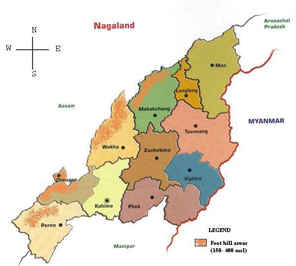
Nagaland, the 16th State of the Indian Union, was established on 1 December 1963. It is bound by Myanmar on the East, Arunachal on the North, Assam on the West and Manipur on the South. It lies between the parallels of 98 degree and 96 degree East longitude and 26.6 degree and 27.4 degree latitude North of the Equator.The state of Nagaland has an area of 16,579 sq kms. The state is mostly mountainous except those areas bordering Assam valley. Mount Saramati is the highest peak in Nagaland with a height of 3,840 metres and its range forms a natural barrier between Nagaland and Myanmar.The Naga people belong to the Indo-Mongoloid group of people living in the contiguous area of the North Eastern hills of India and the upper portion of WesternMyanmar. The major-recognised tribes of Nagaland are Angami, Ao, Chakhesang, Chang, Khiamniungan, Kuki, Konyak, Lotha, Phom, Pochury, Rengma, Sangtam, Sumi, Yimchungru and Zeliang. The Naga languages differ from Tribe to Tribe and sometimes even from one village to another. They are, however, under the Tibeto-Burma family.
Agriculture
Agriculture is the backbone of the economy of Nagaland and the source of employment for majority of its inhabitant. About 68% people are engaged in agriculture. An important features of Agriculture in the state is Jhumming or Shifting cultivation.